Map Features

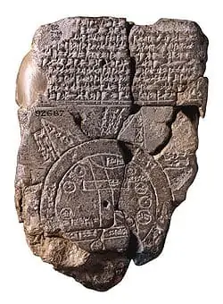
Maps have been along for a long time. The oldest map known is a Babylonian world map from the Fifth Century BC. It is a circular map with Babylon at the center and seven other cities around it. Some parallel lines are thought to represent the Southern Marshes, and a curved line appears to be the Zagros Mountains.
Today, maps are much more detailed and cover larger areas. Not all maps are equal, though, but most of them have some of the same features: scale, symbols, grids, date, orientation, title, author, index, and sources.
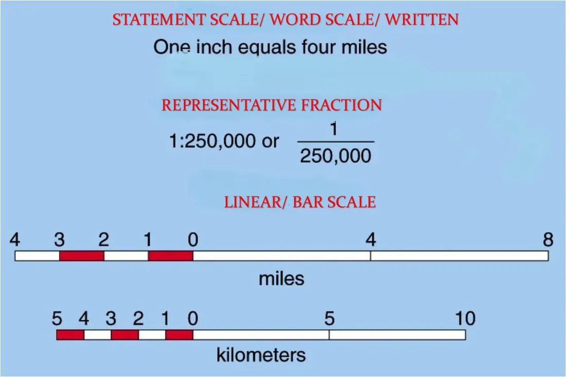
Scale is a very important part of a map. Since all maps are representations of real locations, we also have to know how large the area is on the map. Most scales are shaped like rulers with the scale written on them. Scale is also written with words, like "One inch equals four miles" or as a ratio, like 1:12.
Symbols are also very important on a map. They show what a specific building or city is. Dots of different sizes usually represent cities, a tree symbol a national park or forest, and a large dot with a star is usually a capital city.
Most maps are separated into grids by latitude and longitude. You can tell where places are by looking at the latitude and longitude on the grid.
Most maps also have the author's name and date on it. The title is important because it helps you know what part of the world you are looking at. Orientation is important because it tells you which way is North, South, East, or West.
An index is usually present, telling a reader a list of the places that are on the map, and most maps also have a list of sources to tell you where the information on the map came from.