Latitude and Longitude

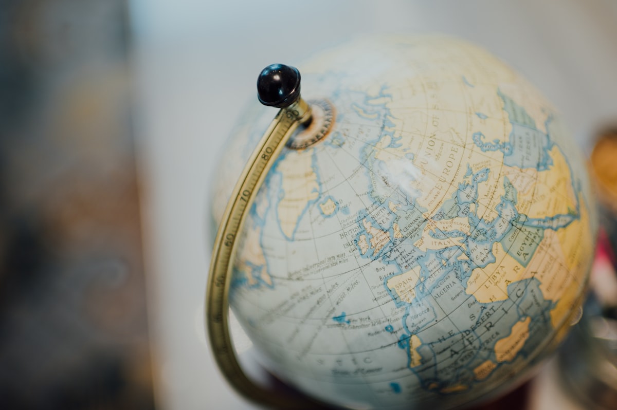
When you look at a globe, like the one in the image above, you will notice two sets of lines, one from north to south and one from west to east. These are called Latitude and Longitude. Latitude goes from east to west and Longitude goes from north to south. The first Longitude line is called the Prime Meridian, while the first Latitude line is called the Equator. These imaginary lines separate the two hemispheres.
When pilots fly their planes, they use these imaginary lines for finding out exactly where they are supposed to land. For instance, the coordinates on the map for London are: “51°30'30.71” N 0°07'32.66” E. The part ending in an N shows us latitude and the part ending with E is the longitude.


